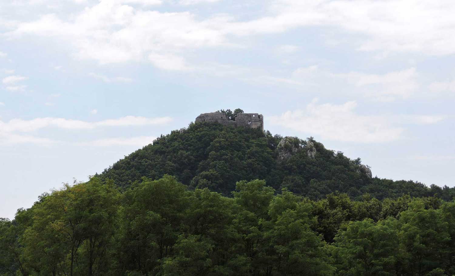
Some twenty kilometres south-west of Zagreb, roughly midway between Samobor and Jastrebarsko, lies Okić. In the distant past, the Okić area — known as Podokićje — formed a single unified whole, encompassing the entire Okić estate or lordship, which extended across the triangle between Zagreb, Samobor and Jastrebarsko. Its north-western boundary was the ridge of Plešivica, its northern boundary the River Sava, its eastern boundary the low foothills of the Vukomeričke gorice, and its southern boundary the River Kupa together with the streams and marshes around Crna Mlaka. Surrounding it were other lordships — those of Jastrebarsko, Samobor (Lipovac), Susedgrad, Medvedgrad and the Turopolje commune — as well as other free noble communes such as those of Draganić, Cvetković, Pribić, Krašić and probably Stankovo. In the Middle Ages the Okić lordship belonged to the parish or county of Podgorje, *de Podgoria*, later known as Prigorje. The name Prigorje derives from the settlement's sunny, south-facing position relative to Plešivica — it means, in effect, "beneath the mountain" or "by the mountain". To the south, this county had a natural boundary along the Kupa against the counties of Gorje and Gorica.
In more recent times the name Prigorje has gradually fallen out of use, since the region came to form part of Zagreb County — which was itself, in truth, largely a Prigorje county, stretching as it did across the slopes of two mountain ranges: the Zagreb Hills and the Samobor Hills (with Plešivica). In the later division into districts, the Okić area was split between the districts of Samobor and Jastrebarsko; in more recent administrative arrangements it was divided between the municipalities of Samobor and Jastrebarsko, while the eastern part — which had once formed part of the Okić lordship, including places such as Stupnik and Horvati — came under the municipality of Novi Zagreb. The boundary between the Samobor and Jastrebarsko portions of Podokićje ran along the line between Klinča Sela and Petkov Breg, then between Tržić and Drežnik, and between Purgarija and Podgrađe, with the first-named villages falling within the Jastrebarsko district and the second within Samobor.
The ecclesiastical division corresponded to this, for two parishes had existed there from time immemorial: St Mary beneath Okić and St Martin beneath Okić, which until the more recent establishment of separate parishes at Klinča Sela and Rakov Potok encompassed the greater part of the former Okić lordship (along with Sveta Nedelja and Samobor). The parish boundaries, however, do not correspond precisely to the municipal ones. What concerns us most here is the narrower Okić area, which can nearly always be surveyed in its entirety from the ramparts of the fortress.
Podokićje lies south-west of Zagreb, from which it is between 20 and 35 kilometres by road; as the crow flies it is some twenty kilometres to the Okić fortress at 498 metres above sea level. Today the entire area falls within the broader catchment zone of the city of Zagreb. On clear days and nights, Zagreb is visible from Okić "in the palm of one's hand" — individual larger buildings can even be made out.
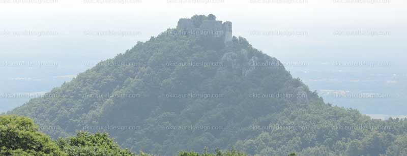
The highest point in the Okić area is the summit of Plešivica at 779 metres; the monastery of St Leonard stands at 520 metres, Okić Castle at 498 metres, the highest part of the village of Klake — the hamlet of Gornji Terihaji — at 546 metres, and the pass where the Jastrebarsko–Samobor road crosses Plešivica at 580 metres above sea level. The southern and south-eastern part of Plešivica forms, in the view of the geographer Dragutin Hirc, the Svetomartinsko Humlje, with the hills of Pavučnjak at 202 metres and Galgovo at 287 metres. Hirc includes within the Martinsko Humlje the area from the stream Molvica to the stream Okićnica, that is, from Konščica to Rakov Potok. Of Plešivica he writes that "towards the east there rises proudly the slender, peaked spine of the Okić Plešivica", on which — especially at sunset — several cone-shaped summits stand out; of Okić itself he says that it has "a striking, volcano-like cone" which at the beginning of the century was measured at 495 metres and is today, according to more recent surveys, 498 metres high.
The entire Okić area from the north, beneath Plešivica, is cut through by numerous streams and rivulets that have carved deep valleys, between which lie ridged spurs on which the many villages and hamlets are situated. The streams include the Molvica, the Konščica and the Gonjeva; the largest and longest is the Okićnica, into which the Gonjeva flows south of the Zagreb–Karlovac motorway. There are also many other smaller watercourses fed by the numerous springs, both large and small, on the sunny southern face of Plešivica. The most abundant springs are those near the village of Gornja Gonjeva, at an altitude of over 300 metres; they now supply all the downstream settlements with water, and once drove dozens of mills and water-wheels. On the eastern side of Plešivica, in the Martinsko Humlje, the River Lomnica rises and, joining streams descending from the Vukomeričke gorice, forms the River Odra. The landscape of the Okić area closely resembles that of the Zagorje region, or indeed that of the Prigorje country stretching from Dugo Selo to Zelina.
Okić Castle can be approached from a number of directions, as many hikers who have already visited it will know. For those who prefer not to walk all the way to its foot, the route to the mountain hut below Okić in the village of Klake leads from Samobor via Kladje, Molvice, Konščica and Klake, a distance of approximately 12 km. It is also possible to arrive from the direction of Jastrebarsko via Plešivica, passing through Bukovje Podvrško and Kotari. There are numerous other road routes, and many hikers have taken care to mark a variety of footpaths and trails with waymarking signs.